Saturday, April 27th • 11am – 4pm
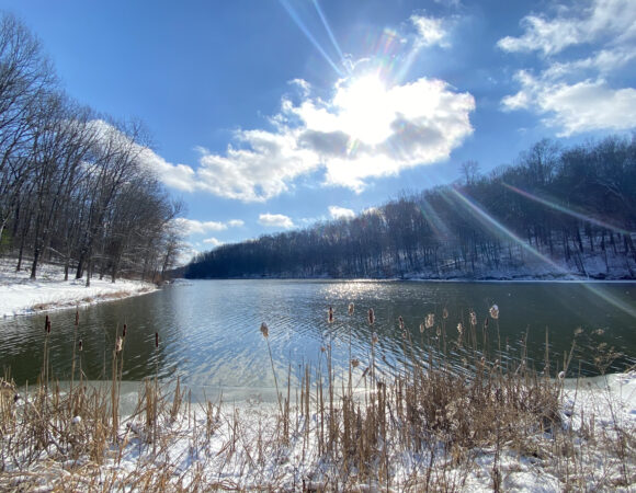
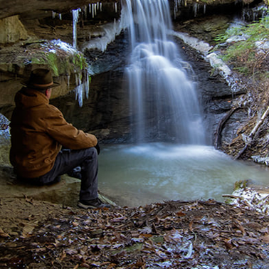
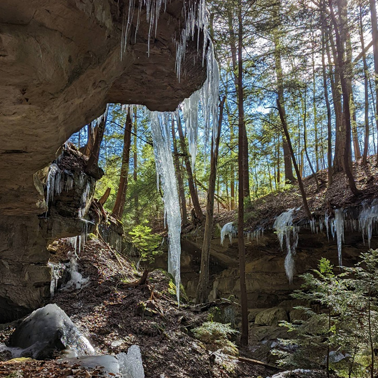
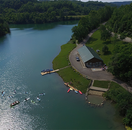
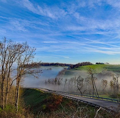
Spend the day enjoying stunning views, historical sites and Belmont County heritage while driving along our scenic byways.
Learn More!


![Belmont 2024[44]](https://www.visitbelmontcounty.com/wp-content/uploads/elementor/thumbs/Belmont-202444-qmlwwvh9t89sa28k8967lxvesb9rjmcksdticyibvu.jpg "Belmont 2024[44]")