top of page

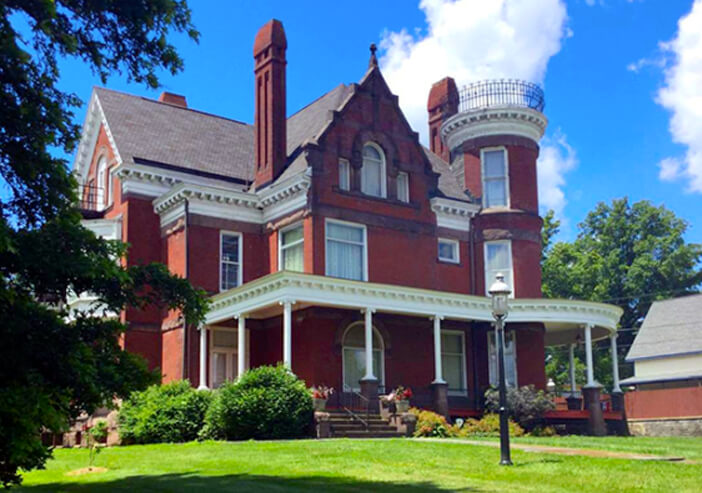
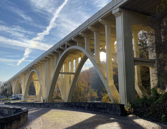
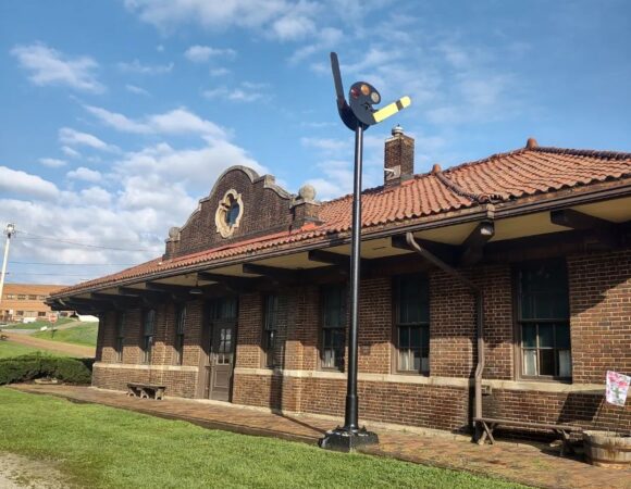
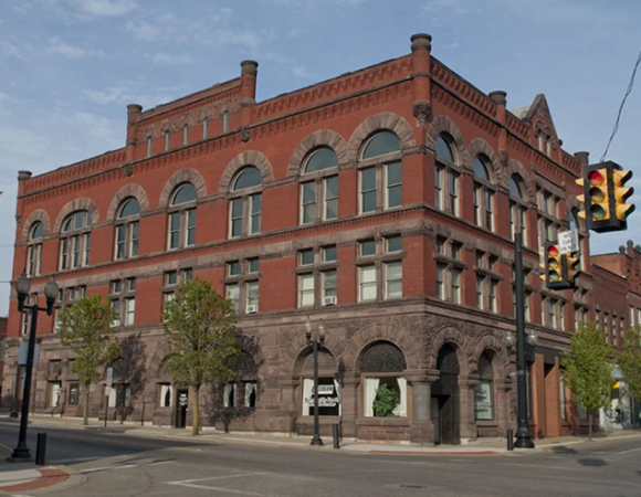
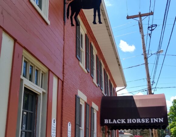
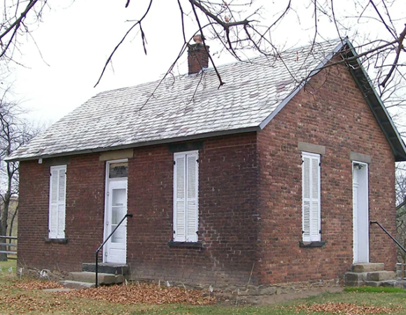
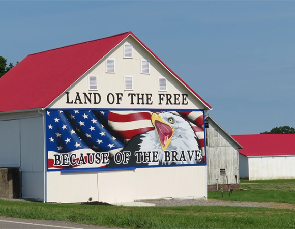
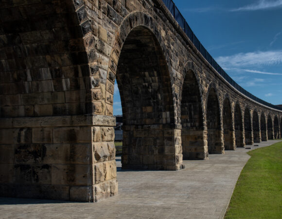
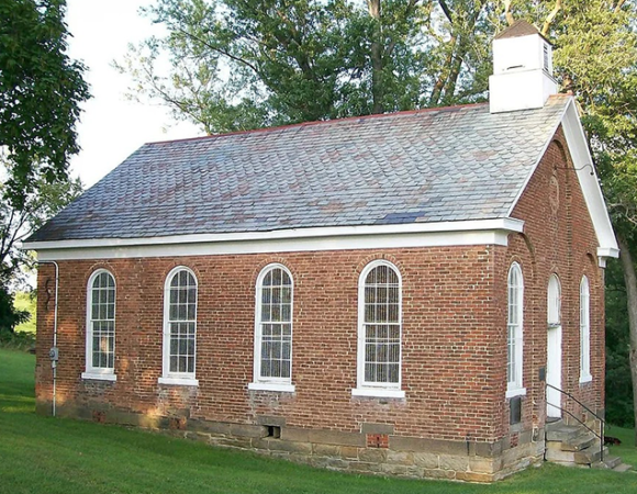
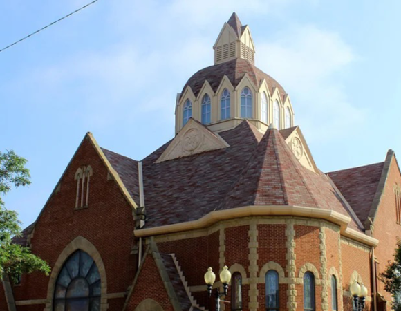
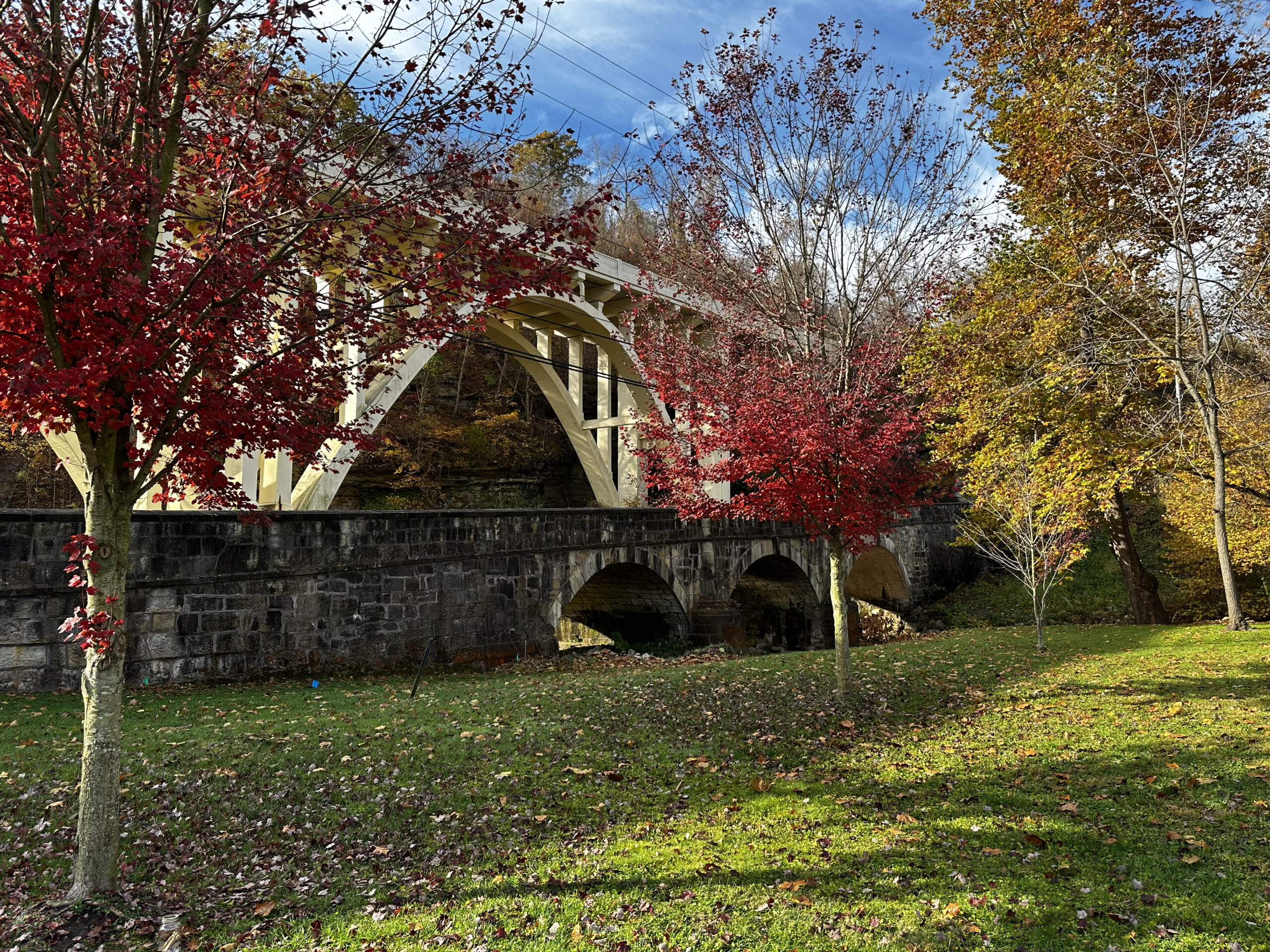
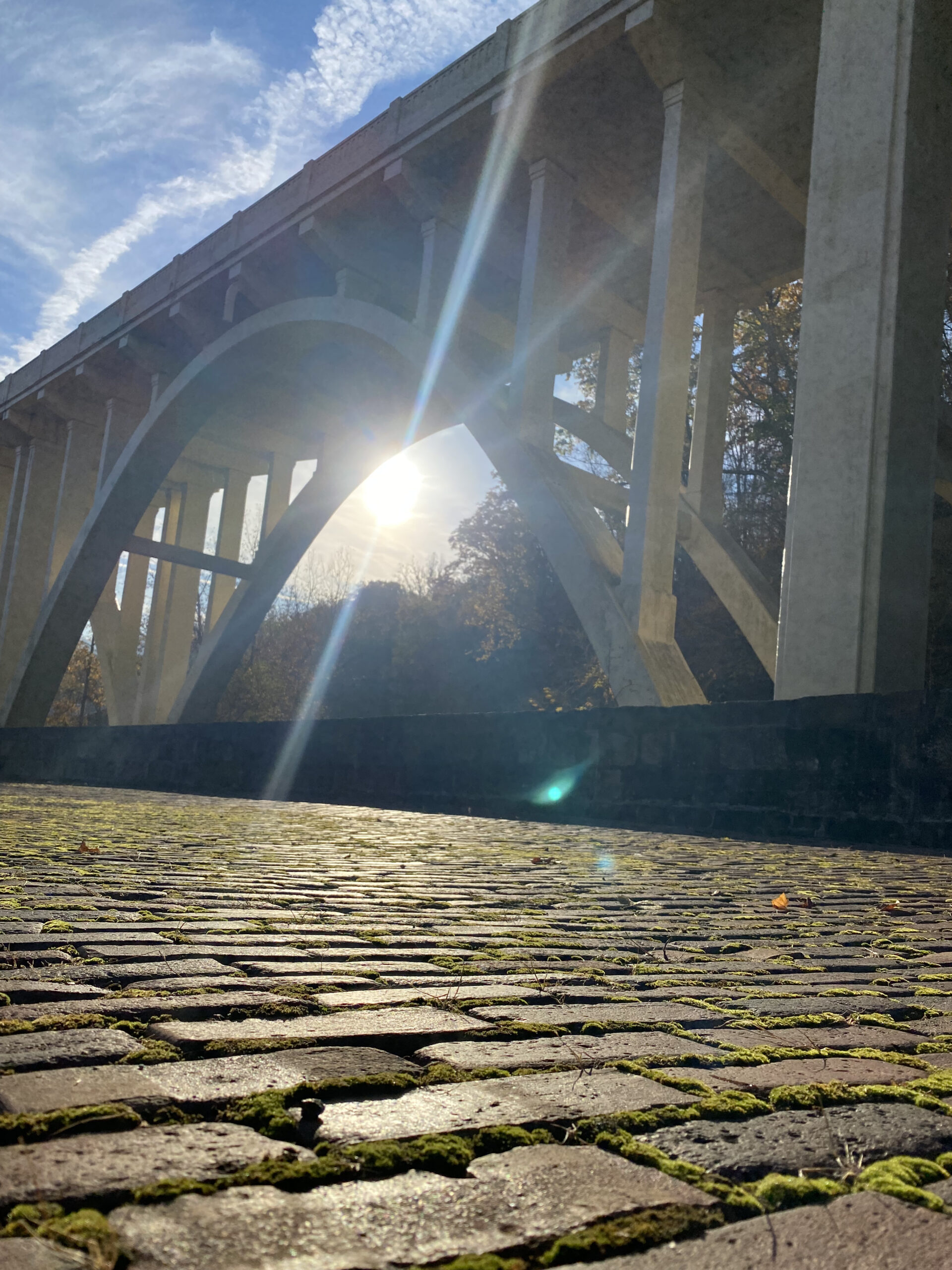
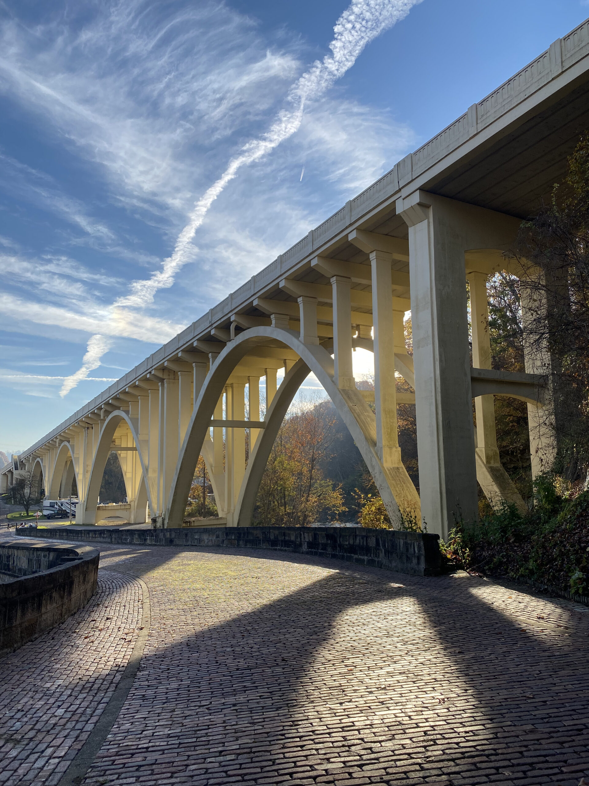
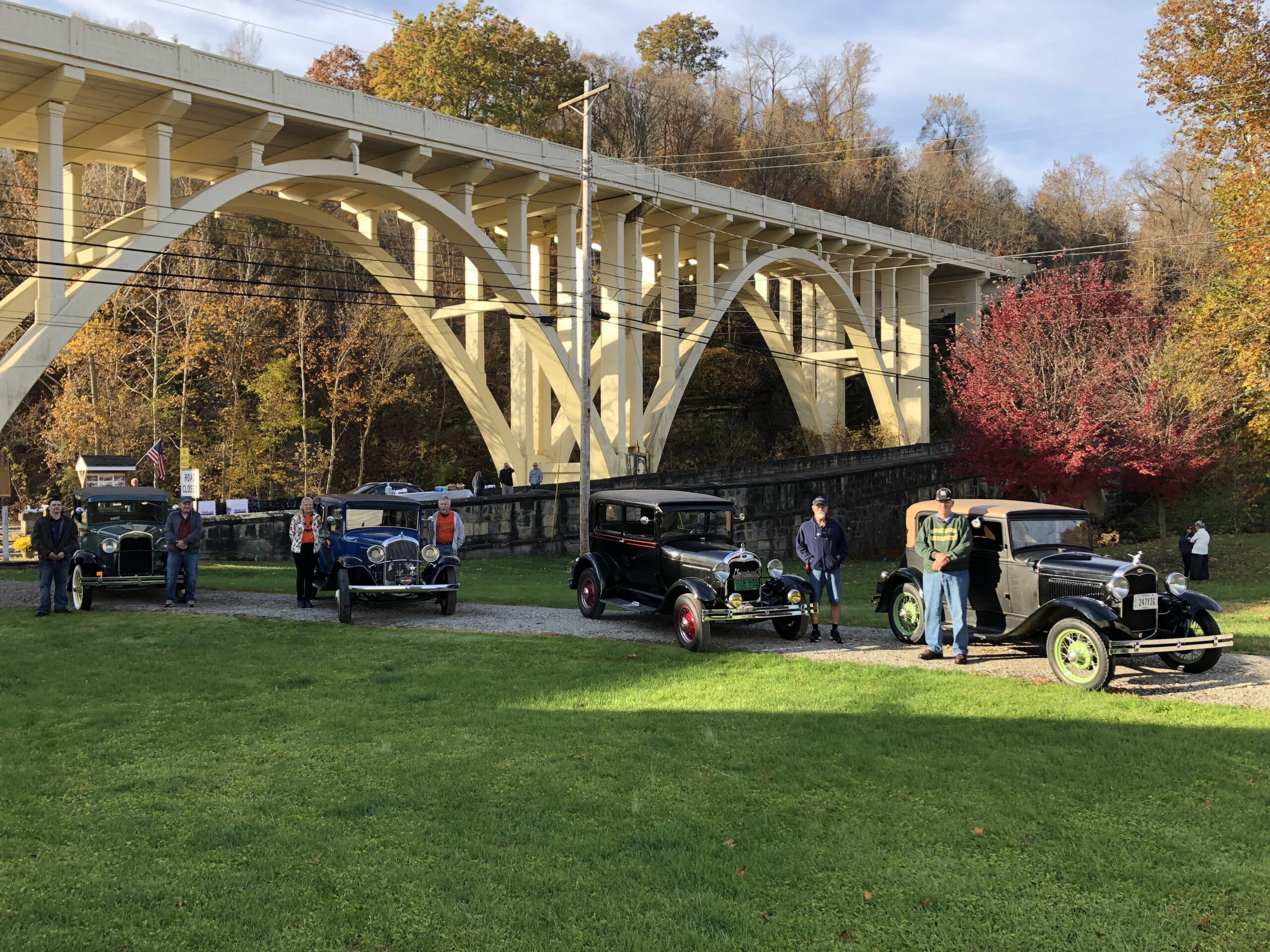
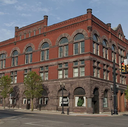
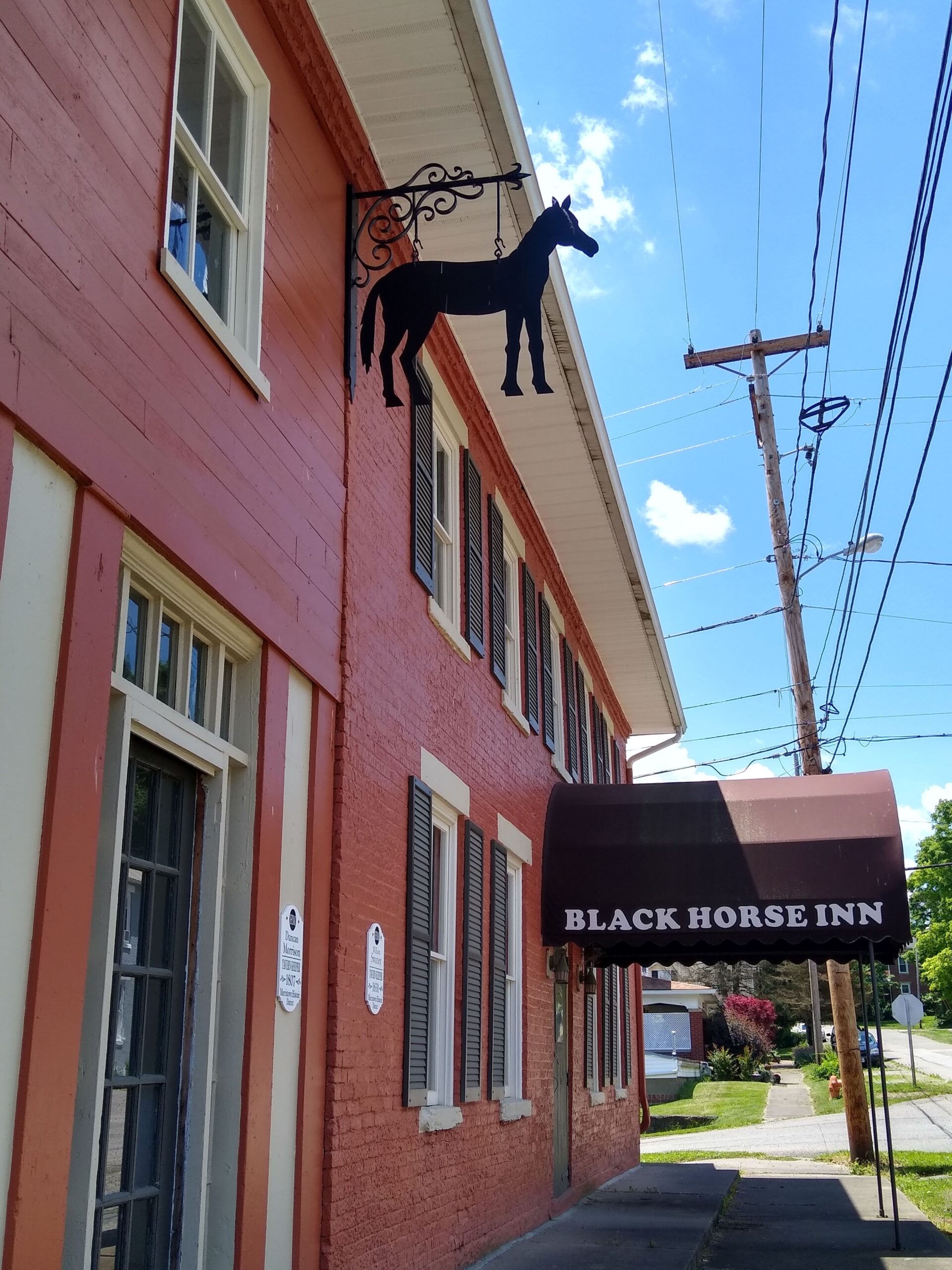
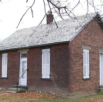
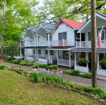
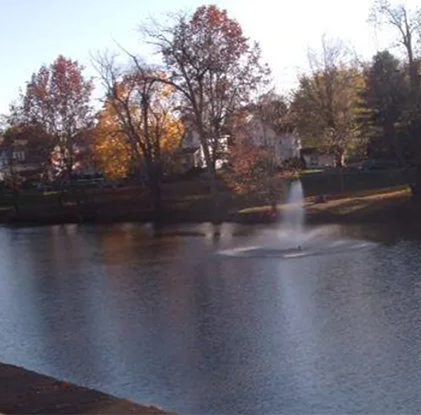
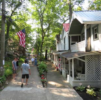
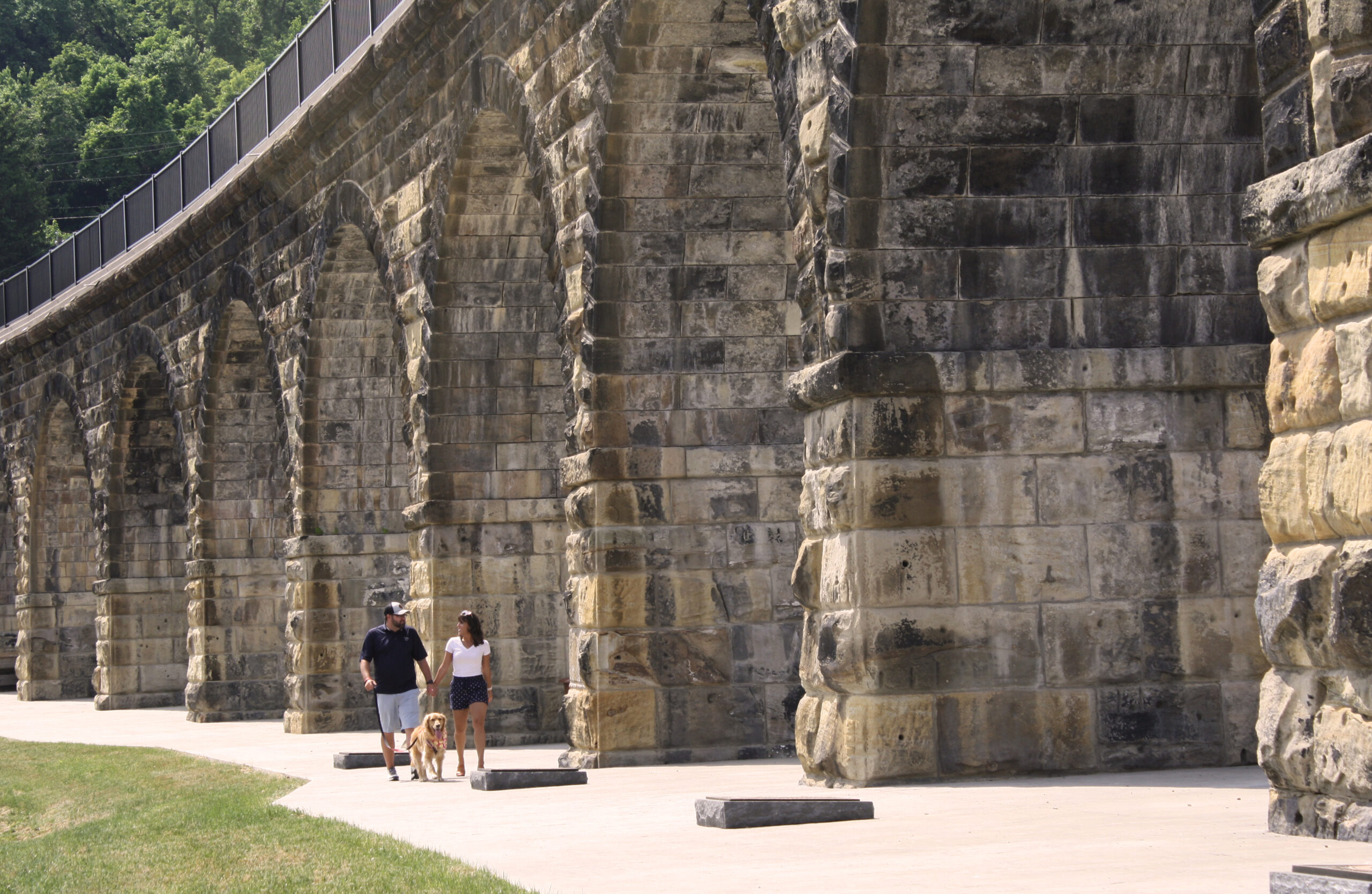
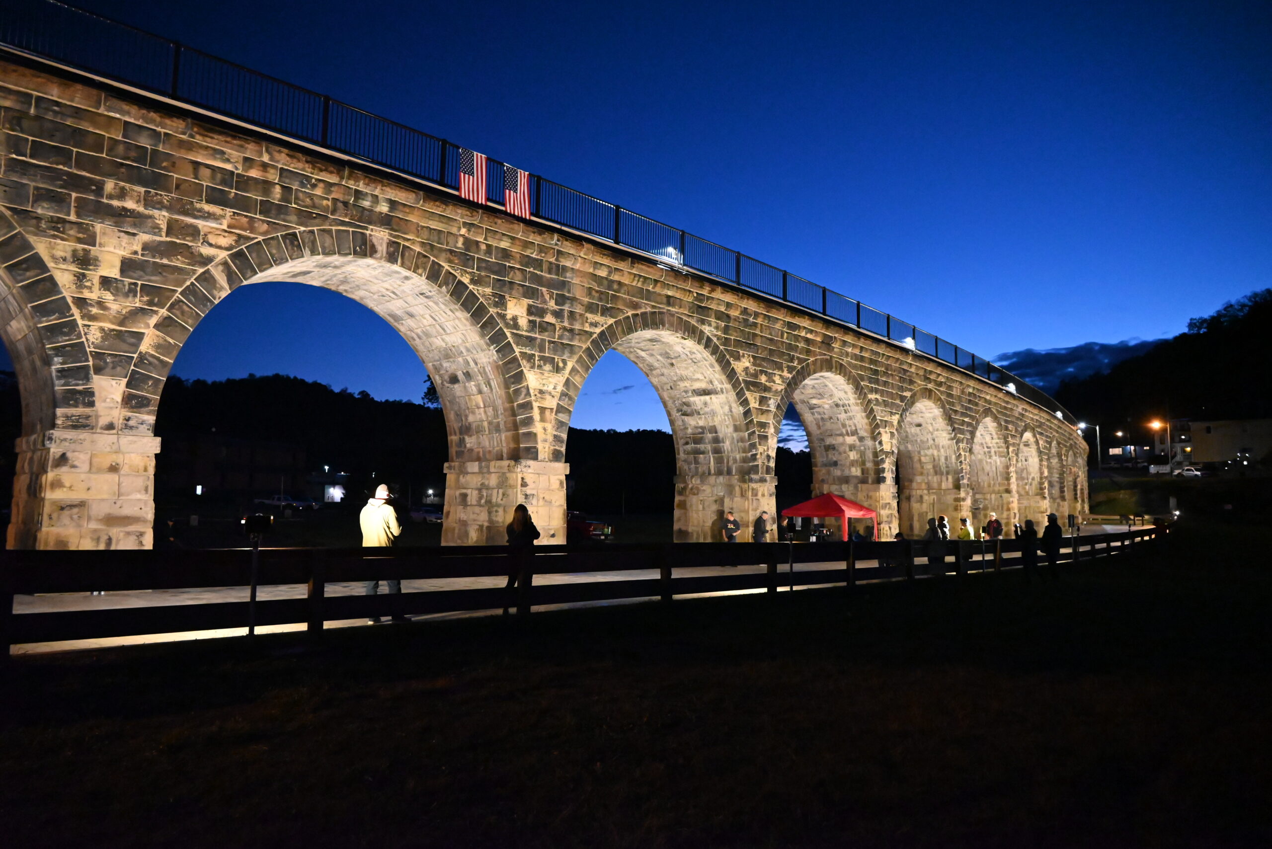
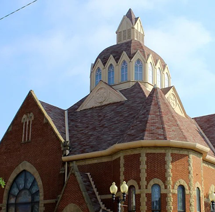
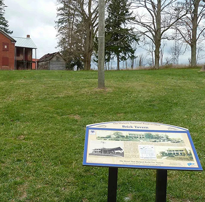
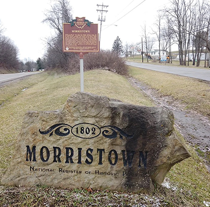
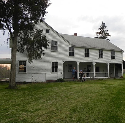
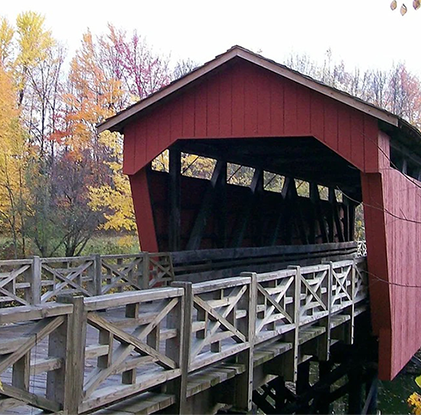
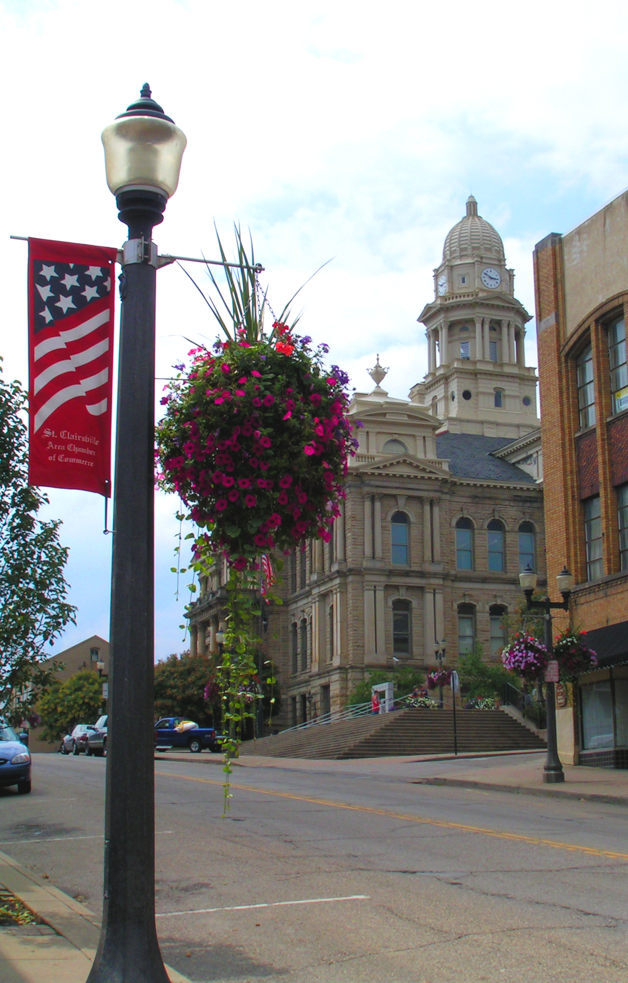
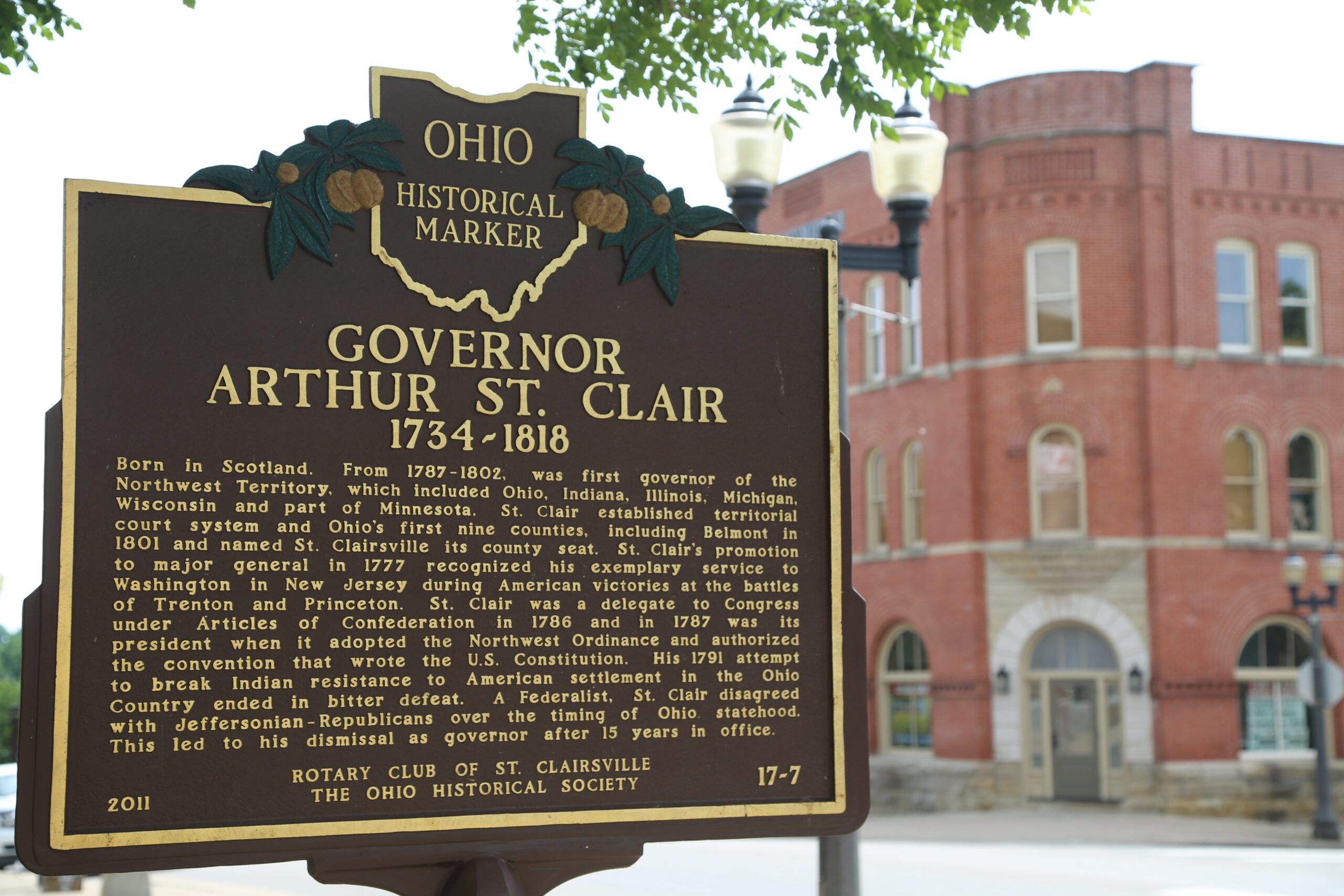
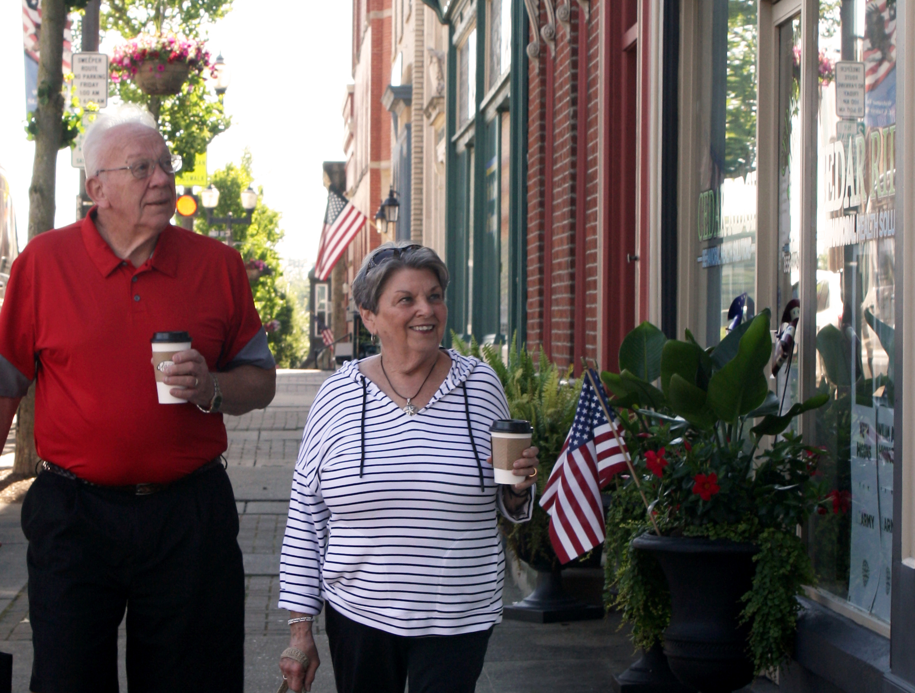
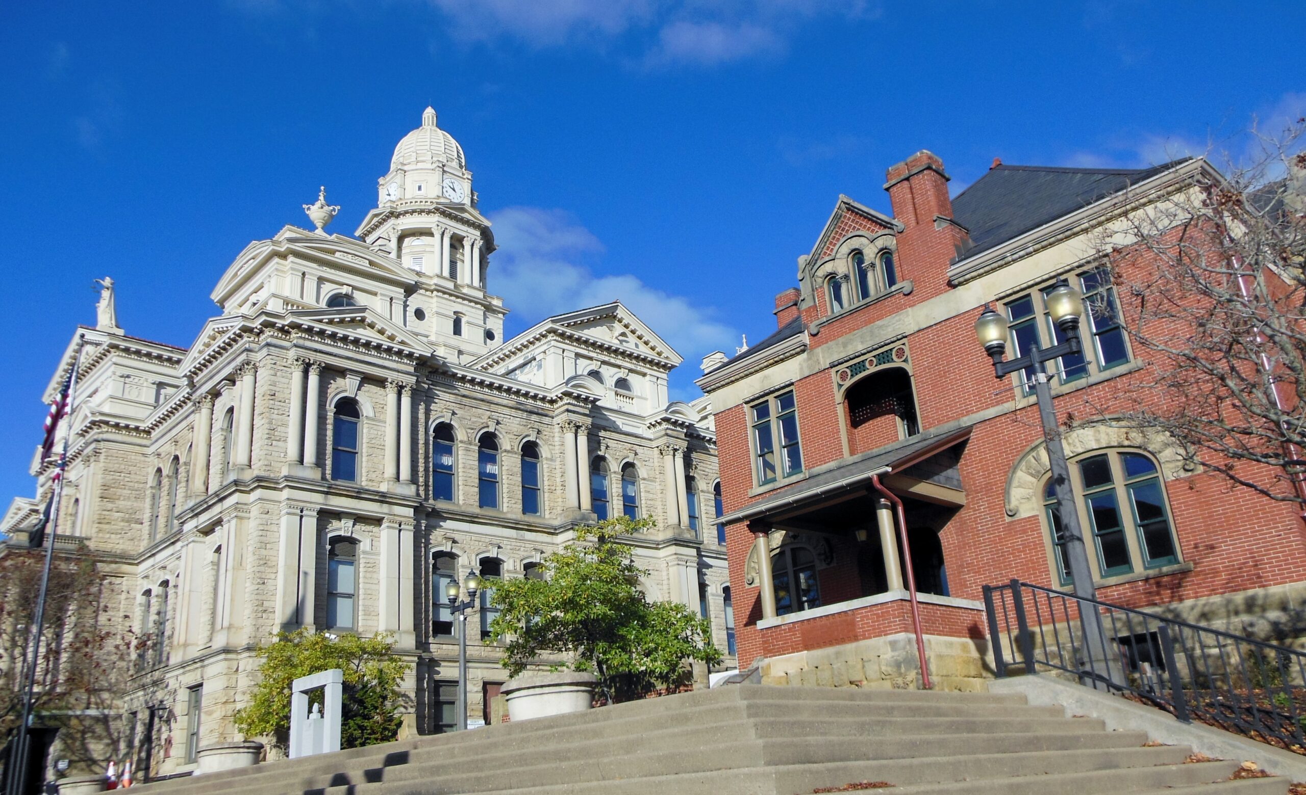
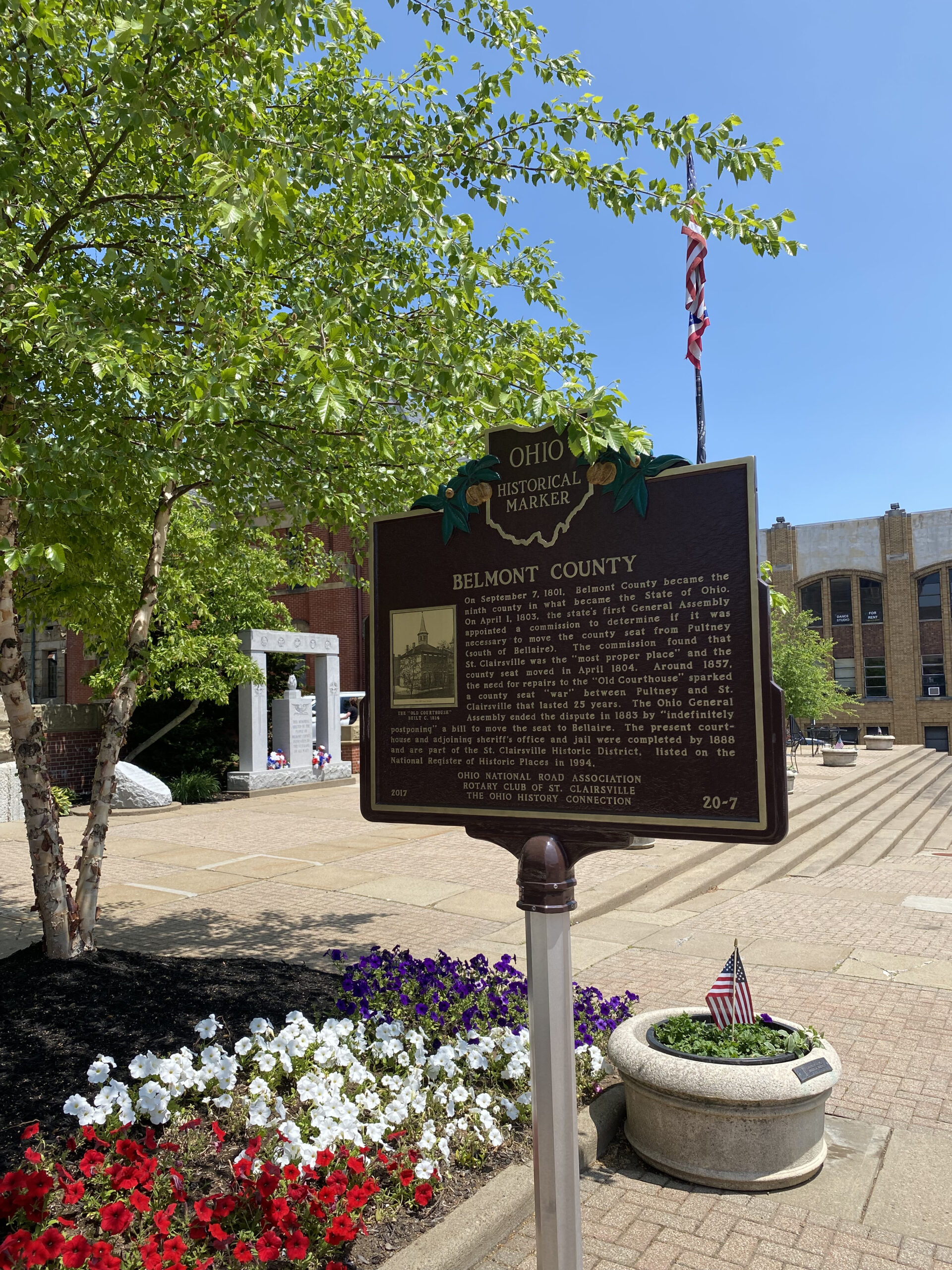
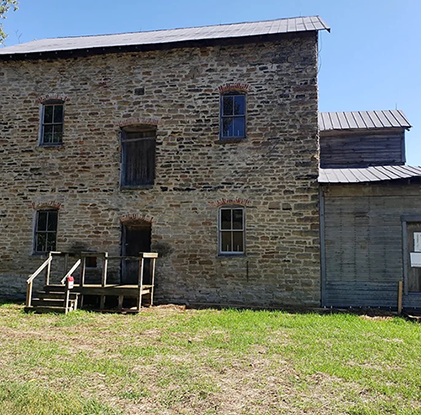
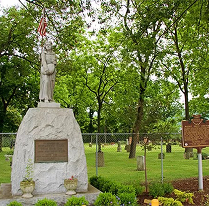
Let us share our past with you. Belmont County’s historic sites are locations where pieces of social, political, military, and or cultural history have been preserved due to their cultural heritage value. Plan your trip to Belmont County and experience the rich history.
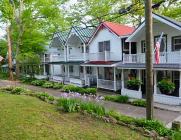
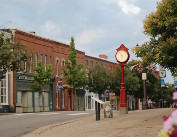
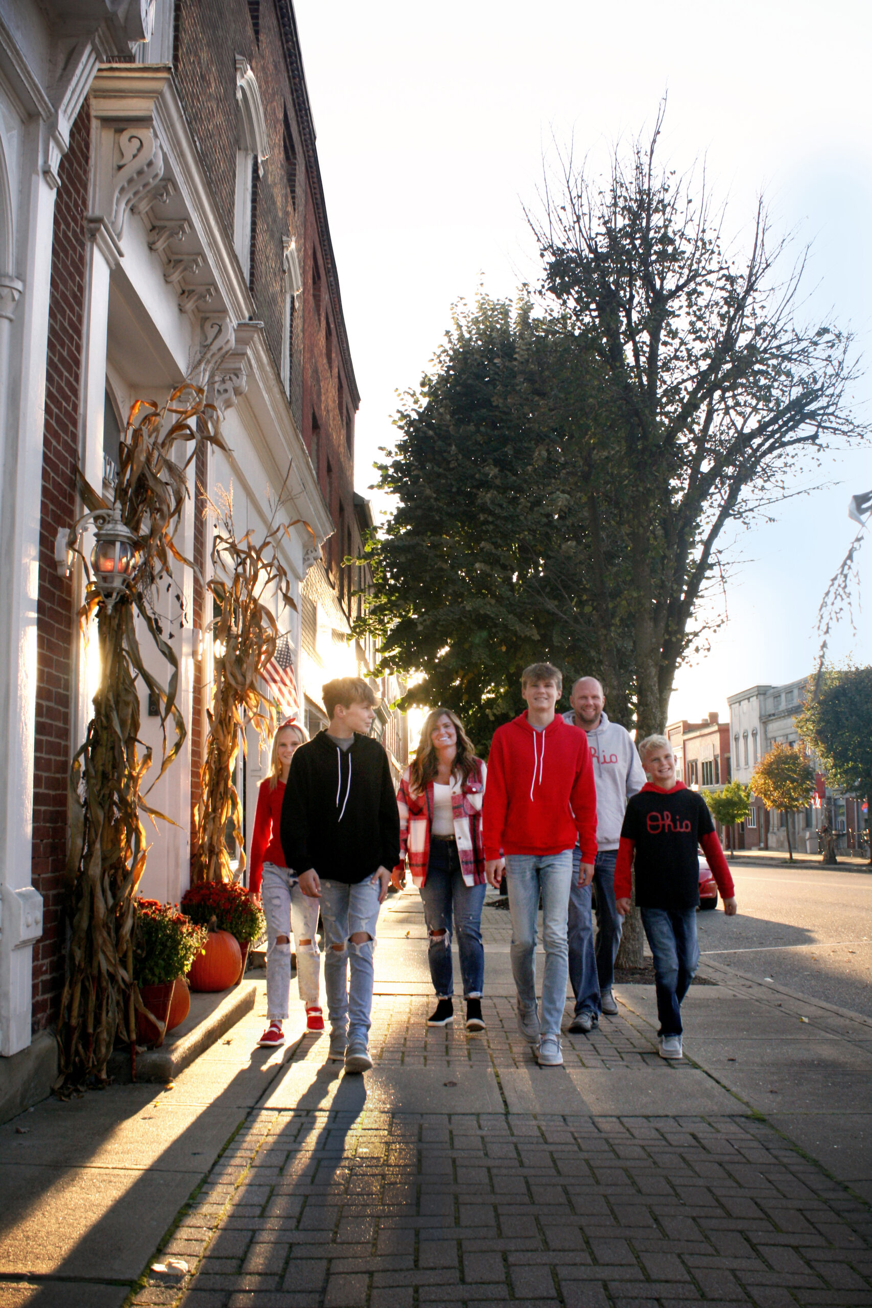
Blaine Bridge.jpg

1828 Blaine Bridge

Enjoy your walk on Ohio’s Official Bicentennial Bridge… Ohio’s oldest bridge.


Begin your reading both sides of the historical marker to understand the significance of the site, the area, and the extraordinary artifact you are about to walk upon.


Then enjoy some points of interest as you put your feet in the footsteps of history…


The bridge is on the original section of the Historic National Road as it continued into the Ohio lands in 1826-1828. The land it is on has been a major North American transportation artery since Native Americans used it as a footpath, Ebenezer Zane blazed it as a trail, Braddock marched troops over it in the American Revolution, and WWI convoys carried men and supplies over it.


It is the largest and last remaining structure of its kind on the entire 6 state Historic National Road systems.


The Roman-style stone bridge is 345 feet long, and rises at a 6.3% incline going east to west, to a 500-foot climb to the top of the hill. Its arches are 25 feet, 35 feet, and 45 feet in length, and were originally earthen-filled. The “s” shape was designed for structural strength over the strong currents of Wheeling Creek.


Location

Pasco Road

Bridgeport, OH 43912

Black Horse Inn.jpg

Black Horse Inn

The Black Horse Inn may be Morristown’s most famous landmark. Erected around 1807 as a smaller structure, additions came later along the years. It was the site of Duncan Morrison’s tavern and reputed to be part of the Underground Railroad during the Civil War. Before getting notoriety as the Black Horse Inn, it operated as the Horner House, Wright Hotel and Shriver Hotel.

Location

203 Cross Street

Morristown, OH 43759

ae99e9b430bdf53a44b45838d44e7491.jpg

Barnesville Historic District

The area around Barnesville was settled by pioneer families, mostly Quaker, around the early 19th century. These early settlers arrived in the area after leaving Maryland, Pennsylvania and the southern states. A meeting house was built and cemetery was established to the east of the future site of Barnesville. This early settlement attracted the attention of a certain Maryland farmer.

Barnesville was first "laid out" in 1808 by James Barnes, who had travelled to the area hoping to create a new Quaker settlement in a rural setting. He found rolling landscape along a Drovers' road ideal for a site and soon platted out lots and roads for his new town. 

Location

Barnesville, OH 43713

1200px-Barnesville_Ohio_Railroad_Depot.j

B & O Depot

The village of Barnesville was platted in 1808 by James Barnes, who took advantage of a Drovers' road that ran through the area from the Ohio River. This road, as well as National Road, led to Barnesville being populated quickly. A railroad line was laid out through Barnesville in the middle 1850s and a wooden freight house was built close to the current location of the depot. Passenger service for the town was located in a corner room of the freight house until 1914, when the town was granted a depot by the B&O Railroad.

The depot was opened in 1916 and was heralded by the local newspaper as "long needed and greatly desired." The depot was the site of many city events, including troop send-offs during World War IWorld War II, and the Korean War, as well as several Farmers' markets held on the site.

Location

300 E Church St

Barnesville, OH 43713

Concord_Hicksite_Friends_Meetinghouse.jp

Concord Quaker Meeting House

This was the first Quaker Meeting in the Northwest Territory. When the Northwest Territory opened for settlement, Quakers living in slave states in the south moved here to settle in what was a slave-free territory.

Built 1813, it was remodeled in 1863 and 1898. A group of descendants has restored the building which includes three bricks-thick walls, and the original wooden pegged benches. The building is on both the Ohio and National Historical Registers.

In 1826 Concord Monthly Meeting had 279 members. In 1898 the building was reduced in size because of the difficulty in heating the large meeting house and smaller attendance due to westward migration. In 1911 Concord reported only 21 resident members. The Concord Meeting was “laid down” in 1919.

Quaker Josiah Fox, Father of U.S. Navy is buried in the adjoining cemetery. He helped design the SS Constitution (“Old Ironsides”) and her sister ships the United States, Constellation, Congress, andPresident. The U.S. Navy placed a bronze plaque listing the ships he designed on his grave in 1976.

Location

Negus Road

Colerain, OH 43916

(740) 310-1935

49345204_1480768048725772_48582240732950

Drover's Trail

The Drovers' Trail Scenic Byway is located in Belmont County, following State Route 800 between Hendrysburg and Barnesville and State Route 147 from Barnesville to Bellaire. It consists of beautiful scenic vistas and features historic homes, architecture and sites located on the 37-mile stretch of road. This byway connects two other Scenic Byways (the Historic National Road and the Ohio River Scenic Byway) and has a long history in transportation. In the 19th century it was a heavily traveled route vital to both travelers and farmers transporting goods to markets.


Location

State Route 800

OH

Epworth Park during Chautauqua Days 2012

Epworth Park

The Epworth Park Cottage Owners Association invites you to visit historic Epworth Park. Nestled among the grove of majestic oak trees are sixty-one quaint Victorian cottages that invite you to walk in the footsteps of our ancestors, and to experience the happiness of the days gone by.


Enjoy a picnic by the lake. Throw a line in the water, and try your luck at catching a bluegill, bass, or catfish. Children will enjoy the large, fenced playground. Bring the sports equipment for a friendly game of basketball, baseball or volleyball. Or, just walk along the sidewalks winding through the cottages, and imagine a much simpler time, when folks sat on the front porch and greeted neighbors and visitors as they walked by. The Park is open from April 1 through November 1 of each year. The cottages are privately owned. The two large shelter houses can be reserved by contacting the Village of Bethesda at (740) 484-1250.


Chautauqua Homecoming Days and Bethesda Festival always the 2nd full weekend of July on Sat. & Sun.


Location

Epworth Park

Bethesda, OH 43719


Stone Bridge view#2.JPG

Great Stone Viaduct

The Great Stone Viaduct served as the western approach to the former Baltimore and Ohio railroad bridge spanning the Ohio River.


The cover photo provides a view of the 43 sandstone arches of the Great Stone Viaduct, and the original iron bridge spanning the Ohio River in 1872, just one year after the completion of the construction of the Bridge. This photograph appeared in a book entitled “Photographic Images of the Baltimore and Ohio Railroad: From the Lakes to the Sea”.


This site provides photographic opportunities of railroad train activity crossing the Ohio River, and a Ohio History Connection Marker at the Union Street arch.


Location

31st Street

Bellaire, OH 43906

Phone: (740) 676-2743


Great Western Schoolhouse.jpg

Great Western Schoolhouse

The school is located five miles west of the Belmont County Courthouse in St. Clairsville on the north side of the National Road. Visitors traveling on I-70 would use Exit 213 and follow Rt. # 40 West to Ohio University's Eastern Campus. The one-room school is approximately 1/4 to 1/2 mile west of the college. It is the next driveway beyond Ohio University's Eastern Campus.


The Great Western School was built by the Clark Construction Company in 1870. The school remained in use until 1952. The National Trail Chapter #348 of International Questers restored the building in 1976 as a Bicentennial project. It is on the National Register of Historic Places. The Quester Chapter continues to maintain the school and provides tours and educational classes to visitors throughout the year. Students who visit this "working museum" are instructed by the 'schoolmarm' using the McGuffey Readers, Beacon Charts, Ray's Arithmetic, and Webster Spellers. They also participate in such games as Jacks, Pick-up-Sticks, Tug-of-War, Leap Frog, Drop the Handkerchief, and the Sack Races. Visitors are welcome to "come and sit a spell" and to hear the history and numerous stories of this one-room school. To book a tour please contact curator, Ann Rattine at 740-695-1137.

Location

45425 National Road

Saint Clairsville, OH 43950

First Presbyterian Church.jpg

Historic Churches Walking Tour


Eight churches of various religions can be found along 4th & 5th Streets, Walnut, Locust and Clay.

Location

Martins Ferry, OH

nat40on40w.jpg

Historic National Road

The National Road was the first federally planned and funded interstate highway. Crossing six states (Maryland, Pennsylvania, West Virginia, Ohio, Indiana and Illinois), the road linked older eastern communities with the emerging frontier settlements of the Northwest Territory. Two-hundred and twenty miles of the National Road runs through Ohio and a stone marker on the north side of every mile told travelers how many miles they were from Cumberland, Maryland, the beginning point of the highway. To date, over 83 of these mile markers remain along the original route.

Location

Rt. 40

P10808042.jpg

Lentz Tavern

The Brick Tavern, also known as the "Brick Tavern House," "The Tavern Stand," and "Lentz Tavern" is a Greek Revival example of a roadside inn built circa 1828 by Samuel Robinson. This tavern is one of a handful of known structures still standing along the National Road. The Brick Tavern was listed on the National Register of Historic  Places in 1995. Ownership changed several times and in 1855 Simon Lentz operated the inn. The title remained in the Lentz family through 1886. 

Location

55101 National Rd W

Saint Clairsville, OH 43950

DJI_0107.JPG

Morristown Historic District

The Village of Morristown was platted by Jonathan Zane and William Chapline in 1802 and named for an early settler and innkeeper, Duncan Morrison. The National Road, the major overland route to the West in the second quarter of the nineteenth century was the crucial factor in Morristown's development. It was built through the village around 1826 and changed the village's main thoroughfare from the "Wheeling Road" (later renamed Church Street) to Main Street. Many businesses, including hotels, factories, mills and shops grew from the traffic generated by the nation's first federally funded highway.

Location

Morristown, OH 43759

209824_200564876649422_8233794_o.jpg

Plummer House

Abraham Plummer, the fourth settler and the first Quaker to settle in Warren Township, purchased this land and moved here with his son and his son’s family including three small children in 1801. They came from Frederick County, MD and hired a teamster to carry their goods to the wilderness, but they rode on horseback all the way. It took them three days to cut their way through the forest to their property from the only wilderness road at Morristown. A log cabin was built that year. That building was removed in the 1960’s. The oldest part of the house is said to have been built by Robert Sr. who died in 1814. The end of the house with the small front porch was added by Robert, Jr. in 1836. In the years before the railroad came through, animals were driven to market in Baltimore MD on the “Clay Pike” or “Drove Road” which went past the house. The drovers stopped and spent the night, turning their animals out into pastures. This was an important source of income for early settlers and this house was built with arrangements to house drovers. A room in the upstairs hallway, with a door that locked on the inside, was where drovers (and later “tramps”) would spend the night. The property remained in the Plummer family until 1940 when the property was purchased by Charles Morlan and given to Ohio Yearly Meeting to be used by Olney Friends School. The house had major renovation done in the late 1950’s and has been used for Olney staff housing up until 2005 when it became too expensive to heat and required considerable maintenance to continue its use as staff housing.

Location

Barnesville, OH 43713

business.jpg

St.Clairsville Historic District

The community was founded in 1796 and was originally named Newellstown in honor of its founder, David Newell. According to reports, Newell in 1802 renamed the town in honor of his cousin General Arthur St. Clair, who was the first governor of the Northwest Territory, a confidant of George Washington, and President of the First Continental Congress. Founded in 1802 as St. Clairsville, it had 400 residents at the time of its incorporation in 1807. The town was incorporated a second time in 1818. In 1977, the village attained its current status as a city.

Location

St.Clairsville, OH 43950

1280px-Shaeffer_Campbell_Covered_Bridge.

Shaeffer Campbell Covered Bridge

Stands east of the Ohio University Eastern Campus, I-70 Exit 213, overlooking a pond. It was originally built in 1891 in Fairfield County. Rescued from destruction in the late 1960’s, it was reconstructed on the present site in 1975.

Location

45425 National Rd W

Saint Clairsville, OH 43950

20191008_130440.jpg

Stratton Flour Mill

The Stratton Flour Mill served the Ohio Valley for more than 85 years, producing the finest bread and pastry flours and one of the first self-rising pancake flours, for which the Mill became famous. Today, the Mill is being restored to its appearance in 1902, and to the power source introduced in 1937 -- a 50 horsepower Buckeye diesel engine.

Location

110 Mill Road

Flushing, OH 43977

Still Water Meeting House.jpg

Stillwater Meeting House


The plain federal style brick building seats 1,500. Built in 1878 to house the Ohio Yearly Meeting of Conservative Friends. The building contains a Quaker Heritage Museum. Open by appointment.

Location

61826 Sandy Ridge Rd 

Barnesville, OH 43713

(off Rt. 147, east of town)

Walnut Grove Cemetery.jpg

Walnut Grove Cemetery

(Rt. 7 north, Hanover St. exit, north on Fourth St.) Dating from 1795, the cemetery is Martins Ferry’s oldest pioneer landmark. It is the resting place of the Zane and Martin families. The Betty Zane Statue is a reminder of the heroine of the last battle of Fort Henry.

Location

Martins Ferry, OH 

bottom of page