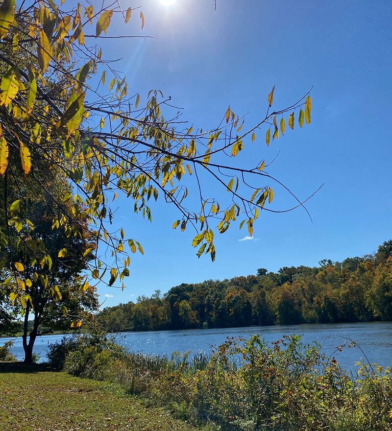
Rock River Refuge
Overview
Located in southwest Belmont County, Rock River Refuge contains a 2.5 mile hiking trail of intermediate to difficult hiking over sometimes rocky and uneven terrain. The trail features views of unique sandstone cliffs and rock formations, ravines, streams, and mature old growth forest.
GPS Location: 39.891065, -81.226609
The trailhead is located off of McLaughlin Road, which is sometimes called Burkhart Road on GPS directions. McLaughlin/Burkhart Road intersects with State Route 379 about two miles south of Temperanceville, Ohio.
Related Activities
Review Scores
No reviews yet
5.00
Average Rating


